Leaving the dock at Green Cove Springs was always about timing. I always planned departures and arrivals based on the tide. I didn’t want to fight the tide there and used to my advantage, to either get off the dock or get pushed on the dock. So when we left for the last time, it meant leaving when the tide and wind were favorable. This meant leaving in the early afternoon.
The issue with leaving in the early afternoon was how far can we get? We knew we were only going to go so far, so we planned to get under the first bridge. Our mast is 60’ from the water. What that means is that we should be good for most any bridge, but we need to watch the tides, to make sure that we would clear the bridges. While the charts say most of the bridges are 65’ at high water, the truth is, sometimes the water is higher. Bridges typically have a clearance board that tells boats how much clearance there is at a given water level.
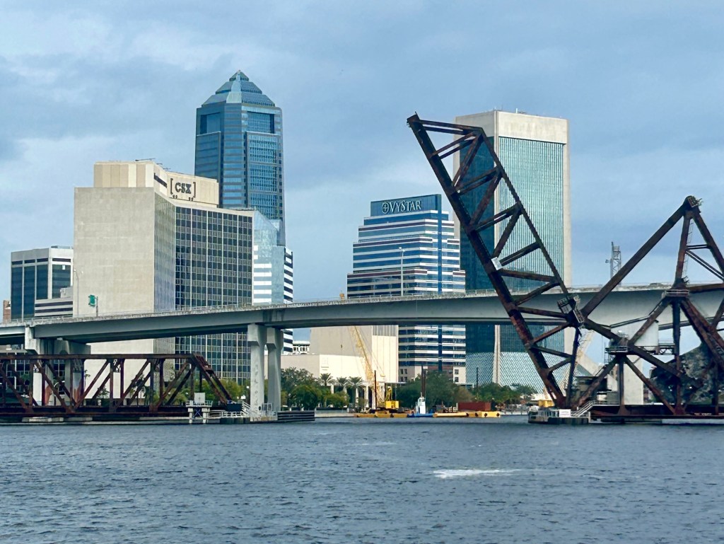
As we approached the 295 Bridge (also known as the Buckman Bridge) we motored up slowly until we could see the clearance board. Once we were sure that we were better than 62’ we headed under. The first time, watching the mast go under the bridge was a bit nerve wracking. Looking straight up, you can’t tell how much clearance there is between the mast and the underside of the bridge.
Once we cleared the bridge we found our first anchorage. It was a place that had been recommended on a couple of different websites where cruisers share information. We set the anchor and enjoyed the fact that we were finally on our way.
One of the things we learned the next day is that we needed to begin planning better.
Most every day we get up, drink coffee, play a few games,then get on with what we need to get done for the day.
We packed up, pulled anchor and headed down river. There were at least six more bridges to go under. Then we thought we’d be heading down the ICW. That became our second learning
experience. . We needed to read the charts more closely.
What we found was once we passed Jacksonville, it was still several miles to the ICW. We know how to read charts, we just didn’t do it as closely as we should have.
Again, we were motoring. Going under bridges under sail is not something that we were ready for, nor did we have the wind to really sail.
As the day went on, we encountered a few more obstacles that slowed us down. One was heading into a strong headwind in the midst of a squall. Another was having to wait for a container ship to be pulled out of a port. Both of these had us starting to look for anchorage nearer to us than we had originally planned.
Our navigation app has anchorages marked on it. Some are good, some aren’t. Some haven’t been reviewed in years, so you just watch to see what you are going to encounter and if it’s no good,you keep going.
Near Jacksonville Beach, we thought we’d found a place. As we moved into what appeared to be the anchorage, it didn’t seem like it was a good spot. To get into the depth of water we needed, we’d be closer than we were comfortable with to some private docks. That meant we kept going. I’d identified one more potential anchorage right at the junction of the St. Johns River and the ICW. That was where we’d stop for our second night, which is right where we planned. We just got there later than we wanted.
It was a little shallow, but the anchor held well. After shutting down the engines, we pulled out the charts and started to plan for our next day a little better. The charts showed us another day long passage down the ICW to our next anchorage and then we’d do some more planning.
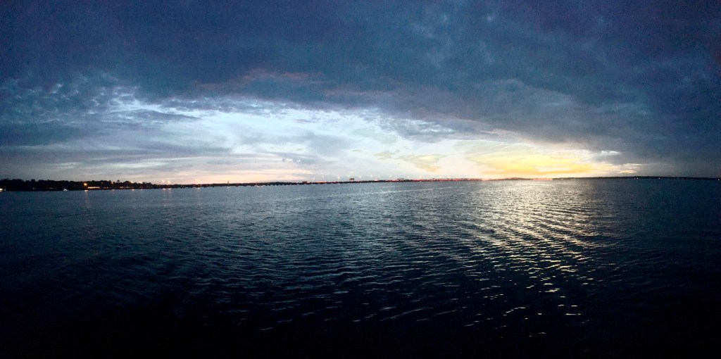
Sitting out on the bow was a pretty incredible experience. We could see Mayport Naval Station. As the sun set behind us, we had a sense of accomplishment. We’d left Jacksonville and the St. Johns, something that we weren’t sure was ever going to happen. Now we were really on our way.

Leave a comment